Big Issues With More Snow and Heavy Winds for New Hampshire and Maine Wednesday-Thursday
Here we go again, with our third snowstorm in less than a week for New Hampshire and Maine.
After seeing anywhere from 6 to 14+ inches from just this last storm piling up on an already nice amount of plowed snow, this next snowstorm, according to a text I received from Eversource electric company, is not something to mess around with.
We’re tracking another weather front forecast to enter NH Wednesday afternoon into Thursday with snow, ice and potential wind gusts up to 40 mph in some areas. More snow and ice accumulating on already-weakened trees may cause further damage and prolonged power outages. We’re continuing to restore power and are preparing for the next wave of weather.
Schools and some businesses around Northern New England that closed Friday, January 20, for that storm did it again Monday and then Tuesday, January 23 and 24, for the second snowstorm, which caused massive power outages due to heavy snow breaking tree branches, pulling over massive chunks of trees, and downing power lines.
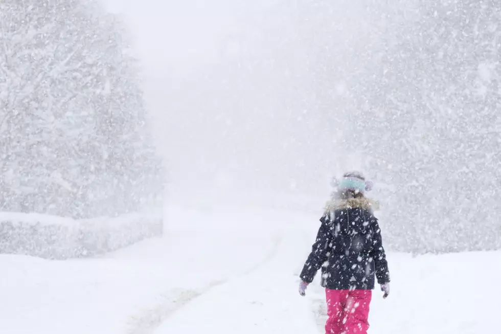
According to WMUR-TV and WGME-TV, anywhere from 4 to 10 inches is possible for this next storm, which will include heavy snow, ice, and rain. It's moving in late afternoon on Wednesday through Thursday mid-morning.
Add that snow plus wind this time, on top of the already heavy, melting and re-freezing snow and ice on our trees and power lines, as well as the plowed snow on the sidewalks and curbs, and this snowstorm is most definitely unwelcome and could create more issues, according to Eversource.
Those wind gusts of up to 40 miles-per-hour plus the heavy snow sweeping through already weighed down branches and wires is not a good mix, so stay alert. Be New England prepared as only we know how, just in case.
RANKED: Here Are the 63 Smartest Dog Breeds
Gallery Credit: Sabienna Bowman
Coastal $19 Million New Hampshire Farmhouse With Elevator and 30-Car Barn
Gallery Credit: Jolana Miller
More From WSHK-WSAK 102.1 & 105.3 The Shark

