First Flakes of the Season to Fall on New Hampshire Seacoast Thursday
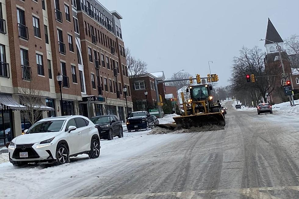
It will be far from being a major snowstorm, but southern New Hampshire and the Seacoast region will get its first taste of winter weather on Thursday morning.
A warm front will move across New England Thursday morning, bringing precipitation with it that will start off as snow showers before turning to sleet, freezing rain, and then all rain by noon, according to meteorologist Sarah Thunberg at the National Weather Service in Gray, Maine.
"Temperatures are going to start off for the most below freezing, except probably around Portsmouth and right near the immediate coastline," Thunberg told Seacoast Current. "Because of those cooler temperatures, we are anticipating any precipitation to start off as snow showers, but we're not expecting that to stick around as snow for very long."
Any accumulation of snow will melt away quickly, according to Thunberg.
The bigger issue will be the transition from snow to sleet to freezing rain, which will happen during the Thursday morning commute as temperatures slowly rise above freezing, which could make roads and sidewalks slippery with slush.
"We're still a bit uncertain on exactly how much freezing rain versus sleet we're going to be getting," Thunberg said. "We're telling people to use caution while driving and take it slow."
Contact reporter Dan Alexander at Dan.Alexander@townsquaremedia.com or via X (Twitter) @DanAlexanderNH
16 Things You Should Never Do in New Hampshire
Gallery Credit: Megan
More From WSHK-WSAK 102.1 & 105.3 The Shark