Sunday Snow Totals Increase for Maine, New Hampshire
❄️ Bands of snow on the New Hampshire Seacoast and southern Maine will up the snow totals
❄️ Winds will gust up to 35 mph along the immediate New Hampshire and Maine coastlines
❄️ Parking bans are in effect in many towns
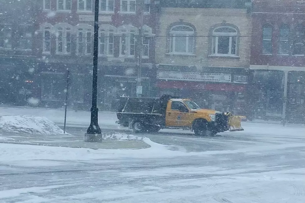
The expected final snow accumulation from Sunday's storm has increased to well over a foot for southern New Hampshire and Maine, with gusty winds along the coast also a concern.
A Winter Storm Warning is in effect starting at 7 p.m., with 12-18 inches of snow expected to fall by the time it ends late Sunday afternoon, according to the National Weather Service in Gray, Maine. An accumulation of 8-12 inches is expected for northern Massachusetts and the area north of Portland.
"As we get closer and closer to these events, we have better model data. And with this new data coming in, there's been slight increase in moisture available to produce snowfall. The more moisture input into the system, particularly across the Seacoast area, has led to an increase in our snowfall totals," National Weather Service meteorologist Derek Schroeter told Seacoast Current.
Bands of heavy snow could produce snow that accumulates at the rate of an inch per hour during the early hours of Sunday, and again in the afternoon before the storm starts to wind down in the late afternoon.
The timeline of the snow:
- Snow starts: Late Saturday night before midnight.
- Heaviest snow: Early hours of Sunday with bands of snow producing upwards of an inch an hour. More bands could develop in the afternoon.
- Snow ends: Sunday evening before midnight.
Gusty winds and parking bans
Another new component to the storm are winds expected to gust to 30-35 mpg out of the northeast especially along the immediate coast between Cape Elizabeth and the Merrimack River, which will lead to some blowing and drifting.
"Since it's going to be a dry, fluffier snow, it really won't take that much wind to really start blowing some of this snow around," Schroeter said.
Parking restrictions will likely go into effect as it gets closer to the storm, and remain in effect until the roads are cleared.
- Dover: Citywide parking ban on city streets, sidewalks, and adjacent public parking areas goes into effect Saturday at 8 p.m. through Sunday at 6 a.m. and 1 a.m. - 6 a.m. downtown.
- Hampton: Winter/snow emergency parking ban Saturday 7 p.m. - 7 a.m. Monday. On-street parking or parking in any public way is prohibited.
- Newburyport: Street parking ban takes effect Saturday at 10 p.m. All parking is prohibited on all public ways.
- Newmarket: Parking ban in effect from Saturday 10 p.m. - Monday 6 a.m. on all town streets.
- Rochester: Citywide parking ban on city streets and municipal parking lots in effect from Saturday 11 p.m. - Sunday 8 a.m.
- Somersworth: Citywide emergency ban with no on-street parking allowed Saturday at 11 p.m. until Sunday at 11 p.m. The ban will be lifted in the downtown business district Sunday at 8 a.m.
Impact of the snow pack
Wednesday's storm is looking like a mostly rain event as a low pressure moves to the west of New England, but many questions remain.
"Looks like a period of heavy rain, but not a particularly long period of heavy rain, as well as some strong south to southeast winds. One factor that will need to be ironed out is when we have this new fresh snow pack," Schroeter said, adding there is still a threat of power outages from the wind.
The snow will keep temperatures cooler at the surface than aloft, which could minimize the strong wind threat, according to Schroeter. It could also help the precipitation remain snow longer at the start of the storm, especially if a secondary low develops south of New England.
Contact reporter Dan Alexander at Dan.Alexander@townsquaremedia.com or via X (Twitter) @DanAlexanderNH
13 Superstitions of Fisherman and Sailors
Gallery Credit: Jolana Miller
More From WSHK-WSAK 102.1 & 105.3 The Shark